
Where to Run: Parks and Greenways
Charlotte is full of great places to run! But if you’re one of the more than 100 people moving here every day… you may not have found them all quite yet. As part of a fun, new series we’re launching, we thought we’d ask some folks who’ve logged a few miles to give you a head start finding some of Charlotte’s favorite places to run. We’ll begin with a list of area parks and greenways!
McAlpine Creek Greenway
“Channeling all of the super-fast high school and collegiate cross country runners who have raced there is my fave!” – Lisa Landrum, RunCLTRun
Arguably, one of the area’s most popular running spots. The upper trail connects to Campbell Creek Greenway taking you almost up to Idlewild Road. Heading south, you can take this greenway all the way to Providence Road.
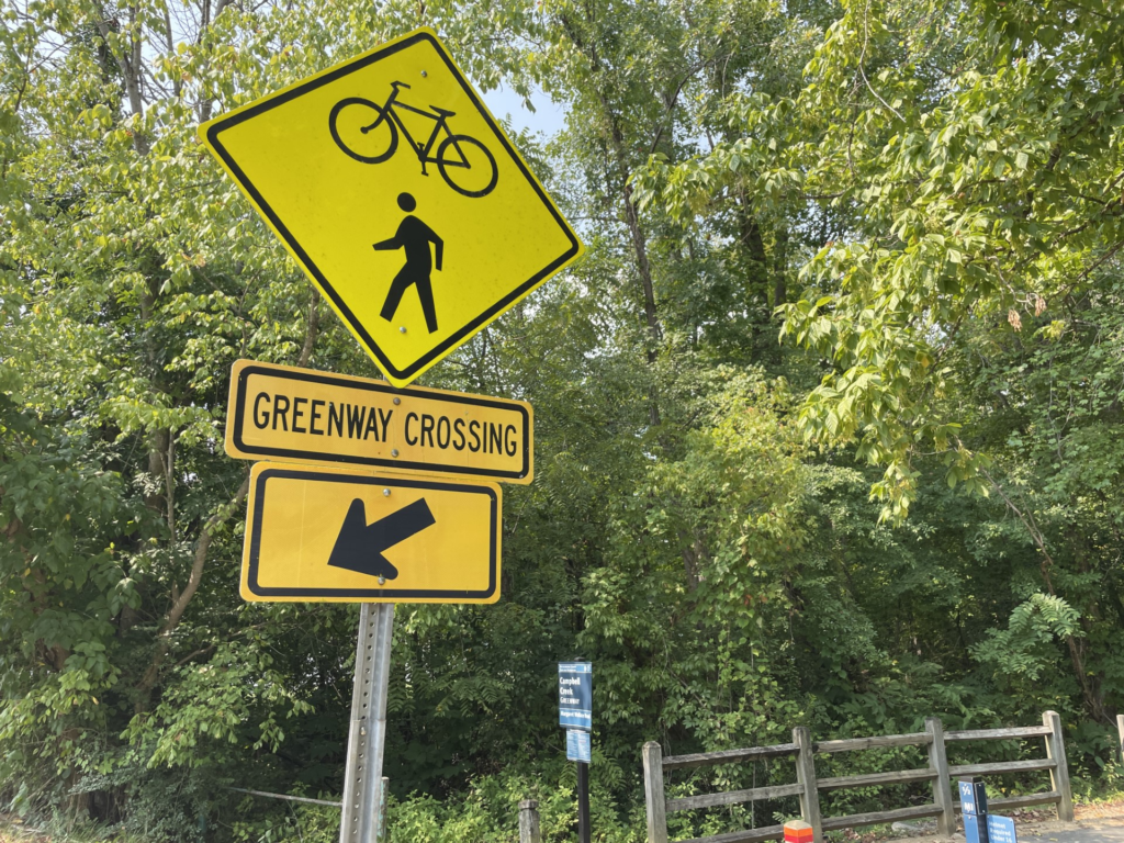
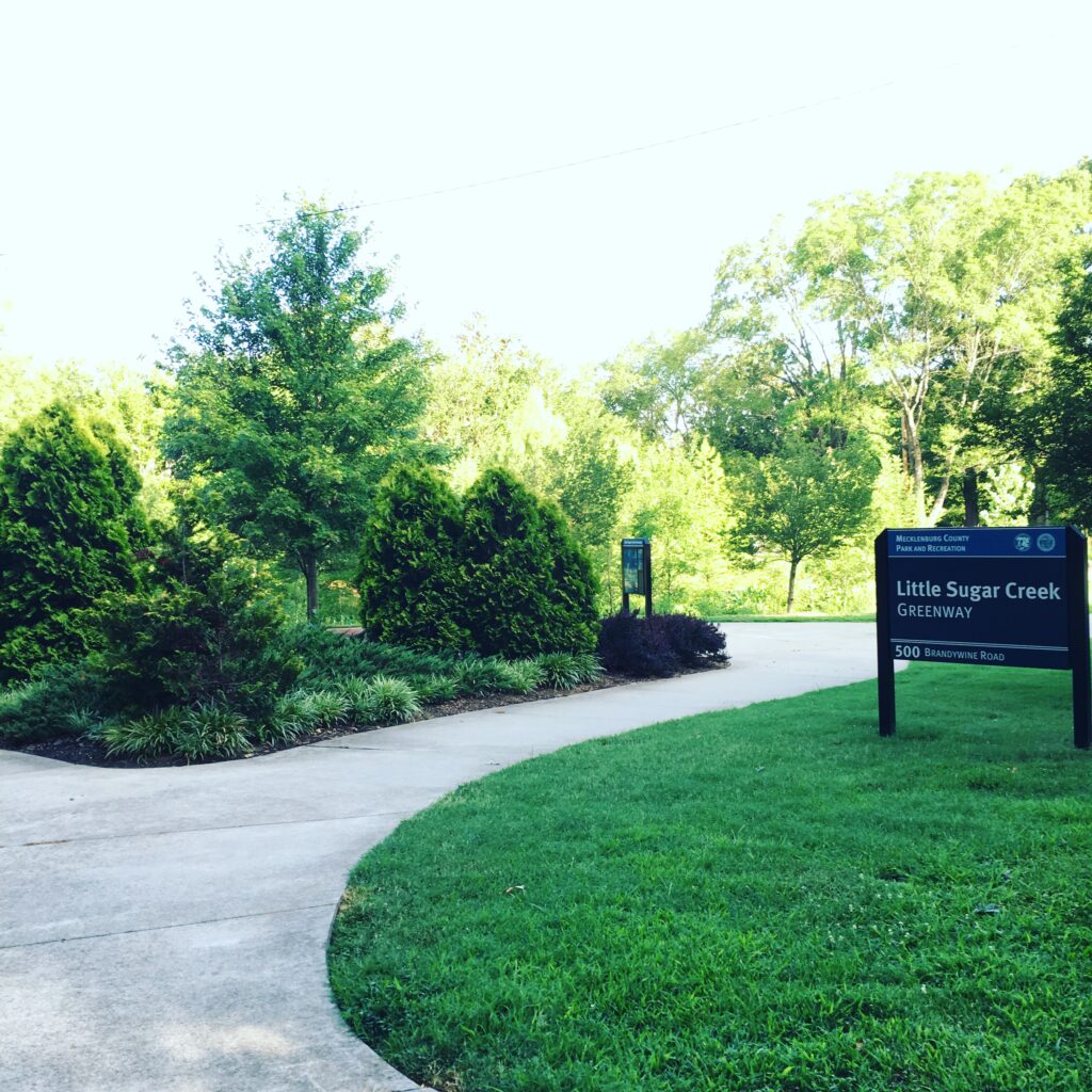
Little Sugar Creek Greenway
“Little Sugar Creek Greenway is my favorite greenway. Recent additions have made it so long! You can travel from the NoDa/Villa Heights area to the South Carolina state line using it. I know, the construction near Atrium Health at Kings and Morehead is a pain, but it’s a minor hiccup for such a fun stretch of greenway!” – Ashley Mahoney, Axios Charlotte
If Freedom Park is “Charlotte’s park,” then surely this is Charlotte’s greenway, stretching more than 17 miles.
Colonel Francis Beatty Park
“If I ever need to get away from the hustle and bustle of life, I head to Beatty. Early in the morning you can hear the birds chirping, the soothing sounds of water running, or at times the rustling of the leaves as a family of deer runs near you. It has a 5-mile flat, non-technical trail ( a few roots) that encircles the park. If you are looking for an easy trail run, come to Matthews, and run Beatty. To introduce those to trails, I started a weekly group run on Wednesdays at 7am. I’d love to have you join me anytime. Or if that day or time doesn’t work, I’ll give you a personal tour.” – Chad Champion, Novant Health Charlotte Marathon Ambassador
Check that weekly greenway run and see for yourself.
Four Mile Creek Greenway
“Beautiful in the morning! – Miller Yoho; Charlotte Sports Foundation, Meck Mile
This 3.3 mile greenway connects downtown Matthews with Squirrel Lake Park and from E. John St. to S. Trade St. with connections to the Matthews Heritage Trail and Matthews Sportsplex. Additional sections of the trail are part of the Lower McAlpine/McMullen trail network.
Mallard Creek/Toby Creek Greenway
“I like this one mainly for casual runs. It’s running distance from my house, has flat sections for those who want that and elevation if I’m looking to do hill training. Not a lot of bike traffic so the turns aren’t as hazardous as other greenways. Not as ideal for workouts because the GPS can be spotty due to tree cover during the summer.” – CJ Langley; treasurer, Charlotte Running Club
You can get some miles here, as Mallard Creek also connects to Barton and Clarks Creek Greenways.
Latta Nature Preserve
“Packed with options for single track trails, crushed gravel surfaces and groomed services roads that all weave in and out of waterfront views along Mountain Island Lake. This is my go-to trail system for quick afternoon miles, weekend long runs, and nature hikes with my little homies (5 & 8 yrs old) … it’s a plus that I can also jump on the water via various kayak launches at Latta!” – Adam Bratton; Recover Brands, Human Powered Movement
You can sure make a day of it, with the Carolina Raptor Center and Quest Center also on the property.
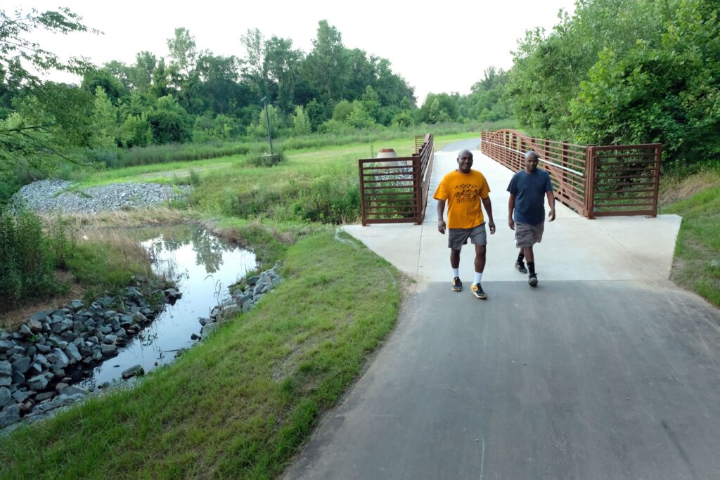
Charlotte Rail Trail
“I’m a bit biased because I have lived on or near the Rail Trail for eight years and host two weekly group runs on it, but it’s my favorite place to run. The mix of people, the ease to get to other places to run, the fact that it’s flat… There are just so many positives and it’s easy to walk someplace with friends for food or a drink after a run on the Rail Trail.” – Phillip Sanford; president, Charlotte Running Club
The Charlotte Rail trail runs along the Lynx Blue Line from Center City into South End. The 3.5 mile route passes shops, bars, restaurants, retail and more.
# # #
Leave a Reply